- Who is it for?
- Ages 7–13
- How long is it?
- 33 min
- What does it include?
- Synced read-along and a quiz
- What does it cost?
- Free — no sign-up required
About this audiobook
This family field guide explores the regional history, geography, and culture of Yunnan, focusing on the ancient kingdoms of Nanzhao and Dali. Listeners will learn how these ancient kingdoms once ruled this specific corner of Yunnan, establishing a borderland with its own distinct center. The audiobook covers the local rule of these powerful kingdoms and their connection to historical trade routes. Designed for kids and families, this guide provides a clear look at how the history of Dali and Yunnan shaped the culture and geography of the region over time.
Why it's worth a listen
This audiobook brings the vibrant history of Yunnan to life, making it easy for families to explore how these independent ancient kingdoms thrived. It offers a fascinating look at a unique regional center, inviting young listeners to discover the trade routes and local rulers that shaped this beautiful corner of the world.
What listeners will learn
Subjects: culture, language, geography.
- Bai culture
- language
- festivals
- local identity
- tradition
- nanzhao
- dali
- kingdom
- borderland
- center
Questions for after listening
- What is one thing that makes Dali or Yunnan distinctive?
- Name one place, custom, or natural feature from the episode.
- Plan one question you would ask if you visited this place.
Chapters
- Reading The Place Before The Map
- The Great Collision and the Three Parallel Rivers
- The Rise of Nanzhao: Six Chieftains and One Kingdom
- The Architecture of Power: Decoding the Three Pagodas
- The Dali Kingdom: A Buddhist Realm on the Edge
- The Web of the Tea Horse Road
- Borderland as Center: Redefining the Map
- The Art of Diplomacy: Manuscripts and Stone
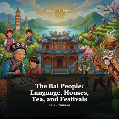
- The Living Legacy of the Bai People
- A Family Field Guide to the Borderland
Read a transcript preview
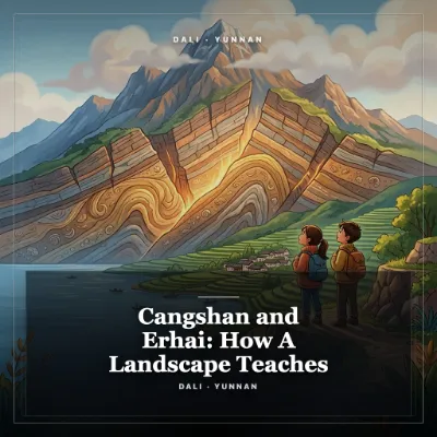
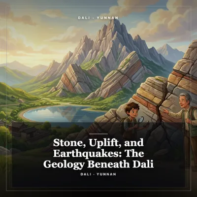
Nanzhao and the Dali Kingdom: A Borderland With Its Own Center Day 3 of a seven-part Dali, Yunnan family learning journey. ## 1. Reading The Place Before The Map Today in Dali, as you look out across the landscape, you are standing in a natural corridor that has shaped the human geography of Asia for thousands of years. To your west, the Cangshan, the Azure Mountains, rise like a massive, jagged green wall, their nineteen peaks often crowned with clouds and capped with snow. To your east lies Erhai, the Ear-shaped Sea, a vast, brilliant blue freshwater lake that stretches over forty kilometers from north to south. This narrow strip of fertile land between the high peaks and the deep water is the heart of the Dali Bai Autonomous Prefecture, a region in northwestern Yunnan Province in southwestern China. The Bai, the indigenous ethnic group who have farmed this basin, fished these waters, and built these towns for millennia, have long understood that this landscape is not a remote edge of the world, but a vital center of its own. When we travel, we often carry maps that divide the world into neat, brightly colored nation-states, each with a clear capital and defined borders. But to understand the deep history of Dali, we must temporarily set those modern maps aside and learn to read the landscape as the ancients did. Before there were paved highways or national borders, there were rivers, mountain passes, and fertile valleys. If you look closely at the geography of southwest China, you will see that Dali occupies a unique ecological and cultural hinge. It is the place where the high, cold Tibetan Plateau begins to step down into the subtropical hills of Southeast Asia, and where the mountain ranges of the Hengduan system run north to south, creating natural pathways for people, ideas, and goods. For a family traveling together, this landscape offers an invitation to become landscape detectives. As you move through the Dali basin, look at how the towns and villages are nestled against the foot of the Cangshan mountains, just high enough to avoid the seasonal flooding of the Erhai lake, but low enough to access the rich alluvial soil washed down by the eighteen mountain streams. This is not an accidental arrangement. It is a spatial pattern worked out over thousands of years of human adaptation. The Bai people designed their homes, their fields, and their irrigation systems to work in harmony with this vertical landscape, where water flows from the high snows, through the terraced fields, and finally into the great lake. In this episode, we will journey back in time to explore the two great medieval states that ruled this basin: the Nanzhao Kingdom, which flourished from the eighth to the tenth centuries, and its successor, the Dali Kingdom, which ruled from the tenth to the thirteenth centuries. We will discover how these kingdoms were not merely provincial outposts of the Chinese empire, but sophisticated, independent powers that negotiated, fought, and traded on equal terms with the Tang and Song dynasties of China, the powerful Tibetan Empire to the north, and the kingdoms of Southeast Asia to the south. By looking at the monuments they left behind, the trade routes they controlled, and the unique form of Buddhism they practiced, we will see how Dali functioned as a brilliant, cosmopolitan center in its own right, connecting different worlds across the rugged terrain of southwest Asia. ## 2. The Great Collision and the Three Parallel Rivers To understand why Dali became such a crucial crossroads, we must go back much further than human history, deep into geological time. About fifty million years ago, a massive tectonic event transformed the face of our planet. The Indian plate, moving northward, collided with the massive Eurasian plate. This slow-motion collision, which is still happening today, crumpled the earth’s crust, pushing up the Himalayas and creating the Tibetan Plateau. But as the plates squeezed together, the rock of the eastern edge of the collision zone was forced to bend, fracture, and slide southward, creating a series of high, parallel mountain ranges separated by incredibly deep river gorges. This geological phenomenon is what UNESCO identifies…
Editorial review
Quality reviewed · 98/100 on . Certificate EL-EF25-4E2C is bound to the exact narrated script.
The review checks factual care, audience fit, teaching quality, structure, tone and source honesty. Read the editorial standards.
Published 2026-07-05 · Updated